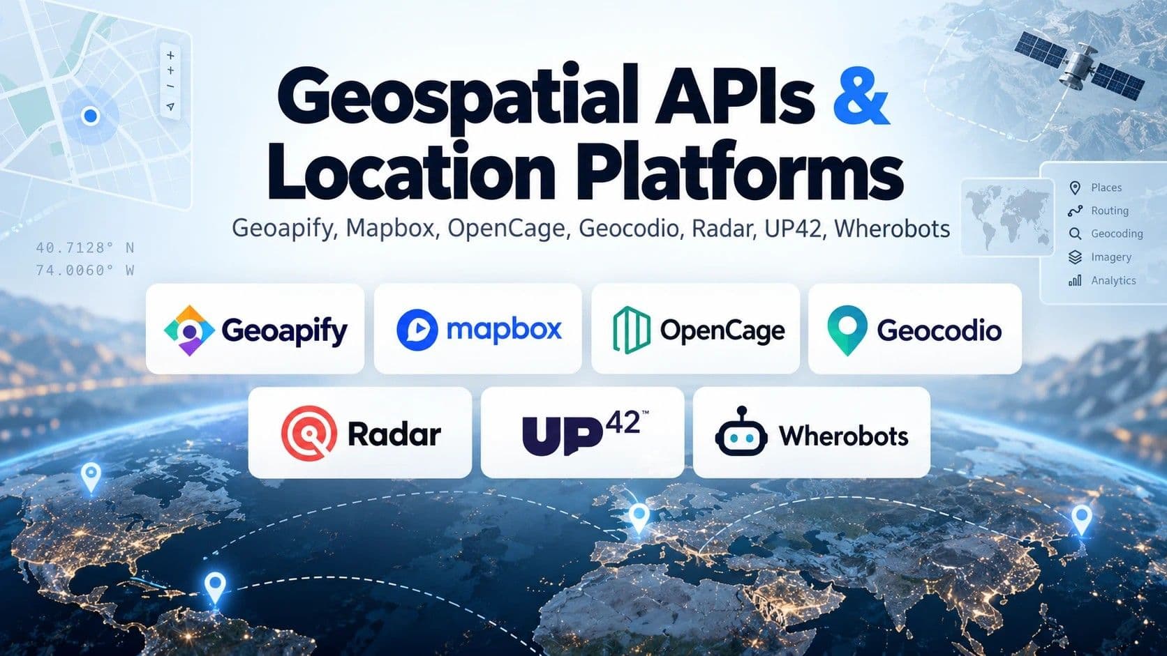
7 Best Geospatial APIs in 2026: Compared by Use Case
7 Best Geospatial APIs in 2026: Compared by Use Case
APIPythonMcpGeospatialGeocoding
Most developers pick a geospatial API the same way.
They start with Google Maps, ship the feature, and discover the real cost when the first invoice arrives.
If you're:
building a logistics or delivery SaaS,
adding location search to a real estate or travel app,
or giving an AI agent the ability to reason about places,
choosing the best geospatial API is one of the decisions that quietly shapes your margins.
I went through the pricing pages, docs and licenses of the providers developers actually use in 2026. Here are the 7 that matter, what each one is genuinely good at, and the Python code to try them in five minutes.
"Geospatial API" is not one thing
Here's the mistake I see over and over.
People search for "the best geospatial API" as if it were one product. It's not. Under that label live at least five different jobs:
Geocoding: turning "Puerta del Sol, Madrid" into 40.4168, -3.7038 (and back)
Maps and tiles: rendering the map your users see
Routing and location tracking: distances, ETAs, geofences
Satellite and Earth observation data: imagery of the planet, optical or radar
Spatial analytics: running SQL and computer vision on millions of geometries
A provider that's excellent at one is often average (or expensive) at the others.
That's why "just use Google" stops working at scale.
The real question
The question isn't which geospatial API is best.
It's which job you're hiring it for.
So instead of a generic ranking, every pick below comes with a Best for: line. Read the one that matches your job and skip the rest.
The 7 best geospatial APIs in 2026
1. Geoapify — Best all-in-one Google Maps API alternative
Geoapify bundles geocoding, places search, routing, isochrones and map tiles into one credit-based plan, built on OpenStreetMap and other open data. It's the closest thing to a full Google Maps Platform replacement for small and mid-size teams.
It also ships an official MCP server, so AI assistants can discover and call its geospatial tools directly.
Pros
Free plan of 3,000 credits/day, no credit card, and commercial use in production is allowed (with attribution)
Paid plans start at $59/month for 10,000 credits/day, flat and predictable
Related articles
Geocoding, places and routing in a single API key
Cons
Daily credit limits instead of monthly, which can feel tight on bursty workloads
Isochrones are capped at 15 minutes on the free plan
Best for: startups that want one geospatial data API for maps, search and routing without Google-level bills.
2. Mapbox — Best for custom, beautiful maps
Mapbox is the default choice when the map itself is the product. Its styling tools and SDKs are the most mature on this list, and it covers geocoding, directions, matrix and isochrone APIs too.
Pros
Generous free tiers: 50,000 web map loads and 100,000 temporary geocoding requests per month
Temporary geocoding at $0.75 per 1,000 requests after the free tier
Best-in-class map styling and mobile SDKs
Cons
Storing geocoding results requires the Permanent Geocoding API, at $5.00 per 1,000 with no free tier
Pricing has many moving parts (map loads, sessions, MAUs, trips), so forecasting takes work
Best for: consumer apps where the map design is part of the brand.
3. OpenCage — Best geocoding API if you need to store results
OpenCage does one thing: forward and reverse geocoding, worldwide, using OpenStreetMap plus other sources. The detail most comparisons miss is the license. You're allowed to store the data returned by the API permanently, which many big providers restrict.
Pros
Permanent storage of results is explicitly allowed
Paid plans from €45/month for 10,000 requests/day (about €0.15 per 1,000)
Soft limits, no surge pricing
Cons
The 2,500 requests/day free trial is for testing only, not production
Geocoding only: no maps, no routing
Best for: teams geocoding large address databases they need to keep in their own systems.
4. Geocodio — Best geocoding API for US, Canada and Mexico
Geocodio focuses on North America and goes deep instead of wide. Beyond coordinates, it can append extra data to each lookup, such as census information, congressional districts and time zones.
Pros
2,500 free lookups per day, forever, on pay-as-you-go
Data appends turn a geocoder into an enrichment tool
Pay-as-you-go covers only the US, Canada and Mexico
Not an option for global products
Best for: US-focused SaaS, civic tech, insurance and real estate teams that need context, not just lat/long.
5. Radar — Best for geofencing and location-aware apps
Radar started as a geofencing SDK and grew into a full location platform: geocoding, routing, search, trip tracking, fraud detection and geo-compliance. It's built for apps that react to where the user is right now.
Pros
Core Maps (forward, reverse and IP geocoding, autocomplete) from $0.50 per 1,000 calls
Geofencing and live tracking in the same platform as geocoding
Enterprise features like location verification and fraud signals
Cons
No free tier, only a technical validation period
Volume discounts are negotiated, not automatic
Best for: mobile apps, delivery and retail teams that need geofences and real-time tracking.
6. UP42 — Best satellite imagery API for Python developers
UP42 is a marketplace for Earth observation data. Instead of signing contracts with each satellite operator, you search and order optical and SAR (radar) imagery from many providers through one API and an official Python SDK (up42-py).
Pros
One API for imagery from multiple providers
Free sign-up, you only pay when you order
Python SDK covers the full flow: authenticate, search an area, order
Cons
Most data is priced per km², by resolution and provider, so costs vary a lot
Minimum credit purchase of €100 (10,000 credits)
Best for: agritech, climate and insurance teams that need satellite imagery in a Python pipeline.
7. Wherobots — Best for spatial analytics at scale
Wherobots is a cloud platform built on Apache Sedona, from the team that created it. It runs spatial SQL (300+ spatial functions) over raster, vector and tabular data, and includes RasterFlow, a computer vision engine for satellite and aerial imagery. Like Geoapify, it offers an MCP server.
Pros
$0 to start, with a 14-day trial covering up to $95 of usage
Handles workloads that would crush a PostGIS instance
MCP server and AI coding tools for agent-driven analysis
Cons
Overkill for simple geocoding or maps
After the trial, Professional requires $95/month minimum in prepaid credits
Best for: data teams running ETL and analytics over billions of geometries or large imagery archives.
Prices checked on each provider's pricing page in October 2026. They change often, so confirm before you commit.
How to test a geocoding API in Python
Talk is cheap. Here's the same address geocoded with three providers, so you can compare results and latency yourself.
pip install requests
import requests

ADDRESS = "Puerta del Sol, Madrid"
GEOAPIFY_KEY = "YOUR_GEOAPIFY_KEY"
OPENCAGE_KEY = "YOUR_OPENCAGE_KEY"


def geoapify(address):
    r = requests.get(
        "https://api.geoapify.com/v1/geocode/search",
        params={"text": address, "format": "json", "apiKey": GEOAPIFY_KEY},
        timeout=10,
    )
    top = r.json()["results"][0]
    return top["lat"], top["lon"], top["formatted"]


def opencage(address):
    r = requests.get(
        "https://api.opencagedata.com/geocode/v1/json",
        params={"q": address, "key": OPENCAGE_KEY, "limit": 1},
        timeout=10,
    )
    top = r.json()["results"][0]
    return top["geometry"]["lat"], top["geometry"]["lng"], top["formatted"]


def nominatim(address):
    # Free OpenStreetMap geocoder: no key, but a User-Agent is mandatory
    r = requests.get(
        "https://nominatim.openstreetmap.org/search",
        params={"q": address, "format": "json", "limit": 1},
        headers={"User-Agent": "my-geo-app (you@example.com)"},
        timeout=10,
    )
    top = r.json()[0]
    return float(top["lat"]), float(top["lon"]), top["display_name"]


for provider in (geoapify, opencage, nominatim):
    lat, lon, label = provider(ADDRESS)
    print(f"{provider.__name__:<10} {lat:.5f}, {lon:.5f}  {label}")
Real output from Nominatim:
nominatim 40.41686, -3.70388 Puerta del Sol, Barrio de los Austrias, Sol, Centro, Madrid, Comunidad de Madrid, 28013, España
Swap in your own keys and the other two lines appear next to it.
Run it on 100 of your real addresses, not on famous landmarks. That's where the differences between providers show up.
From here you can build:
a batch geocoder that cleans your CRM addresses,
a fallback chain (cheap provider first, premium one only when confidence is low),
or a tool your AI agent can call to resolve locations.
Geospatial APIs for AI agents
This is the part almost no comparison covers yet.
LLMs are bad at geography. Ask one for coordinates and it will confidently hallucinate them. The fix is to give the agent a real geospatial API as a tool.
Two providers on this list already ship an MCP server: Geoapify (geocoding, places, routing) and Wherobots (spatial analytics). That means an agent in Claude, Cursor or any MCP client can geocode an address, find nearby places or run a spatial query without you writing glue code.
For everything else, wrapping any function from the code above as a tool takes about 20 lines.
Expect this to become a deciding factor in 2027.
How to choose the best geospatial API
Four lines. That's all the decision tree you need:
Need maps + search + routing on a budget? → Geoapify
The map design is your product? → Mapbox
Just geocoding? → OpenCage (global, storable) or Geocodio (North America + data)
Imagery or big spatial data? → UP42 for imagery, Wherobots for analytics
Radar fits on top when you need geofencing and real-time tracking.
Key takeaways
There's no single best geospatial API. Pick by job: geocoding, maps, routing, imagery or analytics.
Check the storage license, not just the price. It's the hidden cost in geocoding.
MCP support is the new differentiator for teams building AI agents.
FAQs
❓ Is there a free geospatial API?
✅ Yes. Geoapify offers 3,000 free credits per day and allows commercial use with attribution. Nominatim (OpenStreetMap) is free with no key, but its usage policy limits heavy use and it's not meant for production-scale batch jobs.
❓ Which geocoding API is the cheapest?
✅ For low volume, free tiers win: Geocodio (2,500 lookups/day) and Geoapify (3,000 credits/day). At volume, OpenCage (about €0.15 per 1,000 on its entry plan) and Radar ($0.50 per 1,000) are among the lowest per-request prices on this list.
❓ Is Google's geocoding API free?
✅ Not unlimited. Google Maps Platform includes a monthly free usage allowance per API and bills beyond it. Check Google's current pricing page before you build on it, because the free allowance has changed several times.
❓ What is the best satellite imagery API for Python?
✅ UP42 is a strong option because it aggregates optical and SAR imagery from multiple providers behind one Python SDK. For analysis on top of that imagery, Wherobots adds spatial SQL and computer vision.
❓ What's the best Google Maps API alternative?
✅ Geoapify is the most complete all-in-one alternative for most teams. Mapbox is better when you need highly customized map design.
Final thoughts
The best geospatial API is the one that matches the job, not the one with the biggest brand.
Pick by use case, read the license, and test with your own data.
If you're a software or API company looking to explain your product through high-quality educational content (not marketing fluff), feel free to connect with me on LinkedIn:
👉 Kevin Meneses